

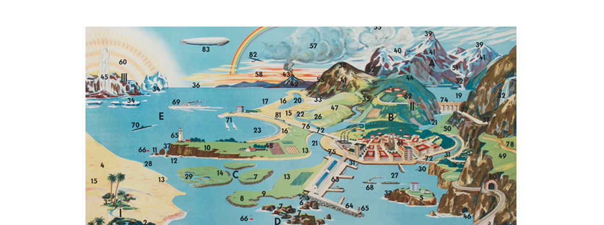
I recently acquired a treasure trove of school maps, charts and other teaching materials from a printer's archive in Mexico City. These are unmounted large (36" x 48") prints that would have been mounted with linen on wooden dowels and used in classrooms. They would look great framed as well with their eye-catching colors and graphics. I have many charts and maps of all the continents. E-mail for more photos and prices.
NEWS FEED
